The EU's latest Earth observer
04/26/2016
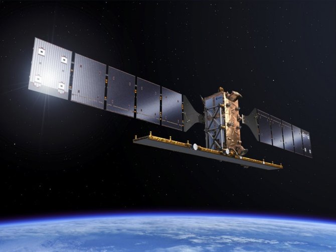
The second in the two-satellite Sentinel-1 radar mission was launched on Soyuz flight VS14 from Europe’s Spaceport in Kourou, French Guiana, on 25 April at 23:02 CEST (21:02 GMT)
Also the lay of the land will be surveyed for further data that will be forthcoming. The Sentinel-1b will work in synch with the 1a spacecraft that was launched way back in 2014. The two spacecrafts will be in the same orbital lanes yet they will be 180 degrees apart. They will map what goes on around our planet on a six day basis.
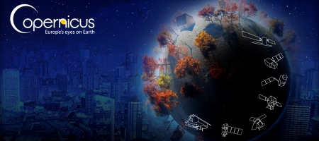
Sentinel-1 is the first mission for Europe’s Copernicus environment monitoring programme. (http://copernicus.eu/)
The new platform will monitor shipping lanes for pollution and icebergs, and survey land surfaces for evidence of subsidence - to name just three of the myriad applications for radar imagery.
It carries an advanced radar to provide all-weather, day-and-night images of Earth’s surface.
Discover how the Sentinel-1 mission uses its radar to provide an all-weather, day-and-night supply of imagery of Earth’s surface to make our lives safer:
Copernicus will support a multitude of services, ranging from air quality updates to crop-performance monitoring, from water-resource management to transport infrastructure planning.
The launch of Sentinel-1B also provides an opportunity to give other smaller satellites a ride into space. Three CubeSats will be carried on the Soyuz rocket. They were developed by teams of university students through ESA's ‘Fly Your Satellite!’ programme run the Education & Knowledge Management Office in collaboration with European universities. The other satellite that is piggybacking a ride is Microscope from the French space agency, CNES.
Read more about Sentinel here